Important Cultural Property

Catalogues of Treasures in Temples and Shrines Surveyed in 1872
古器物目録
Historical Materials · Edo, 19th centuryTNM
Home › Browse › Historical Materials › Edo period › Map of Japan (Medium-Scale Map): Northern Kyūshū
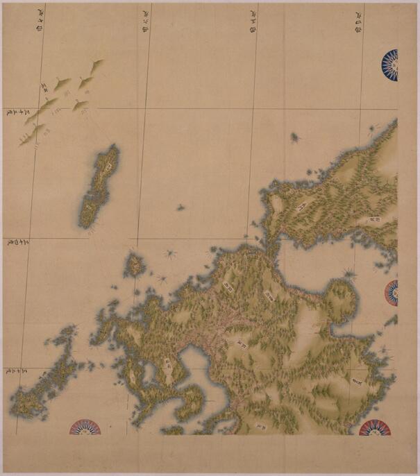
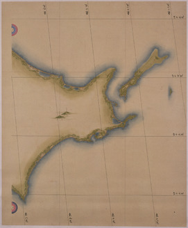
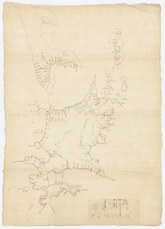
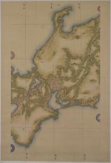
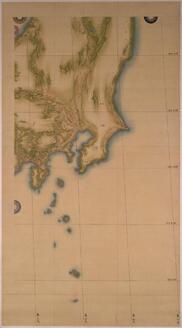
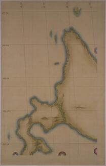
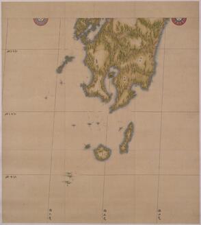
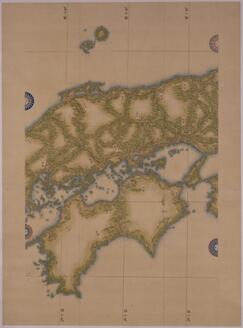
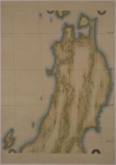
In the early-19th century, Ino Tadataka surveyed the entire nation of Japan on foot and produced a detailed map of Japan. This is a famous episode in Japanese history. Tadataka made maps at three different scales, small, medium and large. This is his medium-scale map, which represents the Japanese Archipelago at 1:216,000 scale across eight charts. It accurately records land elevation and bearing, and mountains, rivers, roads, harbors, castles, temples, and more are marked on it with minute labels. Its precision compares favorably even to present-day maps. Its careful lines and colors make it impressive as a painting as well. Ino Tadataka embarked on his nation survey in 1800 at the age of 56, far from young for the time. He divided Japan into areas and completed the project over the course of 17 years and 10 expeditions. The survey teams led by Tadataka traveled all of Japan on foot carrying specialized equipment, produced maps of each region based on the results of their survey and submitted their maps to the samurai government in Edo.
Even after Tadataka’s death in 1818, his apprentices carried on his work compiling the results of his surveys into maps. In 1821, they completed the 255-page compilation and submitted it to the samurai government as a finished work, with three pages for the small map, eight for the medium map, and 214 for the large map. The edition they submitted to the government was, unfortunately, destroyed by a fire in 1873, but copies made based on the same survey data and maps submitted before the compilation survived. The Tokyo National Museum has a number of these high-quality copies and pre-complete-edition maps in its collections. This map is one of them. It was previously passed down through the Matsudaira clan of Yoshida Domain, Mikawa Province in present-day Aichi Prefecture. At the time of Tadataka’s survey, a member of this clan held an important post in the samurai government.
— Museum description: Tokyo National Museum (CC BY 4.0), via ColBase / Japan Search.