Important Cultural Property

Catalogues of Treasures in Temples and Shrines Surveyed in 1872
古器物目録
Historical Materials · Edo, 19th centuryTNM
Home › Browse › Historical Materials › Edo period › Map of Kyushu (Small-sized map)
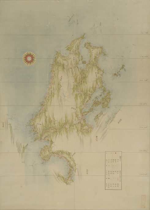
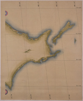
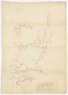
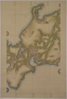
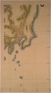
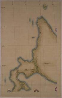
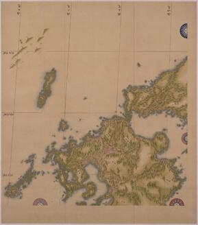
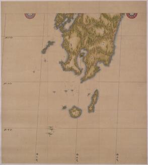
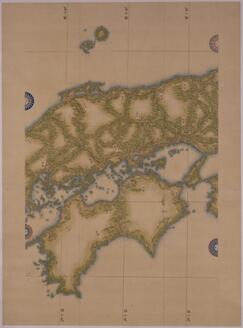
At the start of the 19th century, Ino Tadataka surveyed the whole of Japan and created detailed maps of the country. This was a significant moment in Japanese history. These maps originated in Tadataka's first survey of Kyushu, conducted over two years from 1809 to 1811. Kyushu and its seas are drawn with the southernmost part at the top of the picture. Tadataka produced maps to three scales – large, medium, and small. This is a small-sized map and it has a scale of one to 432,000. However, the map omits most of Nagasaki and Saga prefectures and part of Fukuoka prefecture. This is because Tadataka did not travel to these places during this particular survey. The map accurately displays coastlines, land elevation, and orientation. It also lists the names of mountains, rivers, roads, harbors, castles, and temples, for instance. This meticulousness is a match for any modern-day map. The lines and colors are also skillfully drawn to lend the map a picturesque quality.
Tadataka was already 56 when he embarked on his epic journey to survey Japan in 1800. He divided the country up into different areas and embarked upon ten survey expeditions over a period of 17 years. Tadataka and his team walked around Japan with specialist instruments before preparing maps for each region based on the results of their investigations. These maps were then presented to the Edo shogunate govenment. After Tadataka's death in 1818, his pupils continued his work in accordance with his last wishes. In 1821, the team submitted a batch of 225 maps to the shogunal government, including 214 large-sized maps, 8 medium-sized maps, and 3 small-sized maps. Unfortunately, all these were lost in a fire in 1873. All that remains are copies based on the original data together with maps that had been submitted at an earlier date. Tokyo National Museum is home to a number of these high-quality copies, including this small-sized map of Kyushu.
— Museum description: Tokyo National Museum (CC BY 4.0), via ColBase / Japan Search.