Treasures of JapanA catalogue of Japan's designated cultural properties 2,690 works catalogued

Home › Browse › Historical Materials › Edo period › Survey Map of the Etorofu Island

Important Cultural Property

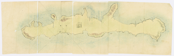
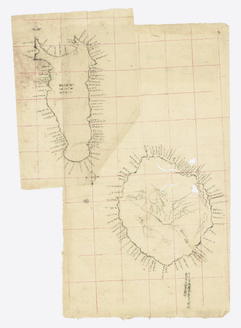
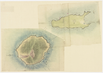
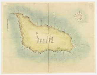
Survey Map of the Etorofu Island

択捉島測量製図
Survey Map of the Etorofu Island (択捉島測量製図)
PLATE IImage: Tokyo National Museum, via ColBase — CC BY 4.0
At a glance — Historical Material · Edo period, 19th century · held by Tokyo National Museum · designated Important Cultural Property of Japan · Imai Hachikuro.

Fact Sheet

Designation
Important Cultural Property (重要文化財)
Date
1801–1900
Creator
Imai Hachikuro (今井八九郎)
Location
Ueno, Tokyo
Catalogue ID
cobas-118944

Find more

Same creator
Imai Hachikuro →

Survey Map of the Etorofu Island is a historical material of Edo period, 19th century (1801–1900), held by the Tokyo National Museum and designated a Important Cultural Property (重要文化財) of Japan. The facts below are transcribed from the official catalogue record; this entry carries no museum description in English.
Record & Sources

Cite this page: “Survey Map of the Etorofu Island(択捉島測量製図).” Treasures of Japan, catalogue no. cobas-118944. Tokyo National Museum. https://treasures.yamato-kenkou.com/treasures/survey-map-of-the-etorofu-island/ — entry last verified 1 November 2026.
Full record data (as published in the official catalogue record)
  • Genre: Historical Materials
  • Cultural property designation: Important Cultural Property
  • Material: Light color and ink on paper
  • 員数: 1枚
  • 分類: 歴史資料
  • 品質形状: 紙本墨画淡彩
  • 法量: 84.8×134.8

Also at the Tokyo National Museum More →

Important Cultural Property
Japanese Map (伊能忠敬日本図(中図))

Japanese Map

伊能忠敬日本図(中図)
Historical Materials · Edo, 19th centuryTNM

More historical materials of the Edo period More →

Important Cultural Property
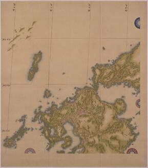
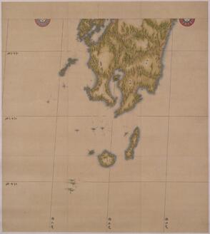
Japanese Map (伊能忠敬日本図(中図))

Japanese Map

伊能忠敬日本図(中図)
Historical Materials · Edo, 19th centuryTNM

More by Imai Hachikuro More →

Advertisement